Snow
During the RACLETS campaign, snow measurements were conducted at the mountain top site Gotschnagrat at 2285 m above sea level (a.s.l.) and hosted by WSL/SLF. The shape and morphology of single ice crystals were recorded at Weissfluhjoch at an elevation of 2700 m a.s.l. and in Laret (1522 m a.s.l.). The University of Basel collected and analyzed the ice crystal pictures.
The snow observation at Gotschnagrat included snow mass-flux (Snow Particle Counter, SPC-7, Nigaata; Flowcapt, FC4, ISAW) in kg mˉ² sˉ¹, snow surface temperature (SI-111, Campbell) in °C, snow height (SHM31, Lufft) in m and measurements of meteorological parameters like air temperature in °C, humidity in % (CS215, Campbell), and three dimensional wind speed (81000, Young) in m sˉ¹ for every wind direction. The data contains information on the amount of fresh snow, bonding of the snowpack, the formation of surface hoar and snowdrift accumulations.
At Weissfluhjoch, there is the chance to directly sample ice crystals within the cloud if the cloud touches the mountain or after falling through the atmosphere when the cloud base is higher than the mountaintop. At Laret, ice crystals and snowflakes can be observed which were atmospherically processed while falling.
Ice crystals and water droplets were additionally recorded in-situ with a holographic imager (HoloGondel, mounted on a cable car, operating between Gotschnaboden (1779 m a.s.l.) and Gotschnagrat (2285 m a.s.l.). Other parameters measured at Weissfluhjoch included precipitation, aerosol, INP and CCN concentrations.
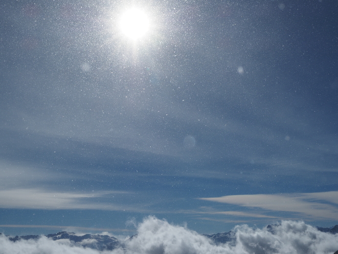
Image 1: Blown and falling ice crystals at Weissfluhjoch. © Claudia Mignani
Additional Info
| Field | Value |
|---|---|
| parent | RACLETS Field Campaign |