Remote Sensing
Remote sensing instruments providing information on aerosols, radiation, and clouds were deployed in Davos Wolfgang, 1630 m above sea level (a.s.l), and Kloster, 1150 m a.s.l for the duration of the RACLETS campaign. The instruments were owned and supervised by ETH Zürich, Meteoswiss, and TROPOS Leipzig.
At Davos Wolfgang, a CloudNet station combined a Raman Lidar (Polly-XT), a Doppler Cloud Radar (Mira-36, METEK GmbH) and a Microwave Radiometer (RPG-HATPRO, Radiometer Physics GmbH) to measure aerosol and cloud properties. In addition, a Doppler Lidar (Windcube 100S, Leosphere) and a Radar Wind Profiler were deployed to get information on wind properties like direction (°), speed (m sˉ¹) and vertical profile (up to 5000 m above ground). The tethered balloon system carrying a holographic imager, named HoloBalloon to measure cloud microphysics, was launched close to the CloudNet station. A Ceilometer (CL31, Vaisala), which was deployed in Kloster, reported the cloud base height (m a.s.l.) and vertical visibility (m). Quicklooks of the measurements and more information on the instruments can be found here: http://data.iac.ethz.ch/holodavos2019/
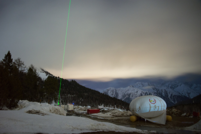
Image 1: LIDAR laser and HoloBalloon at Davos Wolfgang. © Annika Lauber
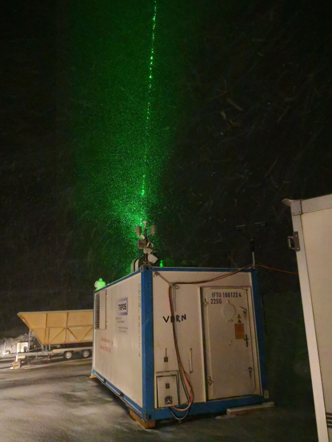
Image 2: CloudNet Station from TROPOS e.V., housing the LIDAR system at Davos Wolfgang. © Jan Hennerbger
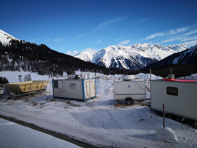
Image 3: Measurement site at Davos Wolfang at daytime showing Doppler Lidar, Radar Wind Profiler, the CloudNET station and the measurement container containing aerosol instruments . © Jan Hennerbger
Additional Info
| Field | Value |
|---|---|
| parent | RACLETS Field Campaign |