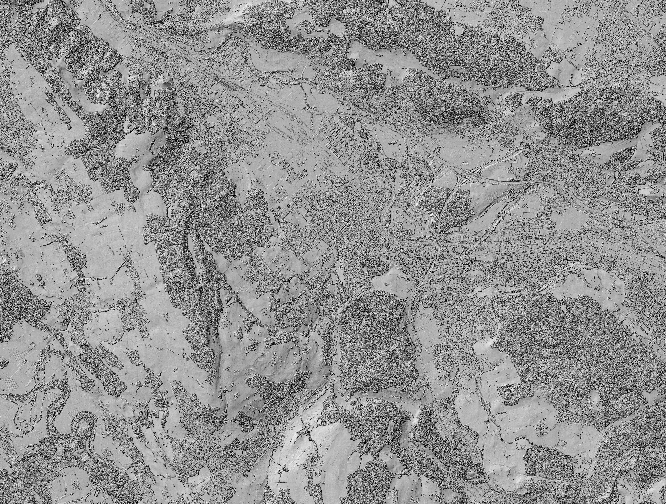
Environmental Data: Hillshade for Vegetation Height Model NFI
Keywords:
3D
DIGITAL SURFACE MODEL
IMAGE MATCHING
PHOTOGRAMMETY
POINT CLOUD
Keywords:
3D
DIGITAL SURFACE MODEL
IMAGE MATCHING
PHOTOGRAMMETY
POINT CLOUD
Description
Hillshade of the digital surface model (DSM), calculated from digital aerial stereo images. The image data was acquired by the Federal Office of Topography...
Citation
Ginzler, C. (2018). Hillshade for Vegetation Height Model NFI. National Forest Inventory (NFI). https://www.doi.org/10.16904/1000001.2.
Resources
2016 Hillshade DSM for Vegetation Heigth Model (current)
2016 Hillshade DSM for Vegetation Heigth Model (current)Thumbnail (JPG)
Thumbnail (JPG)