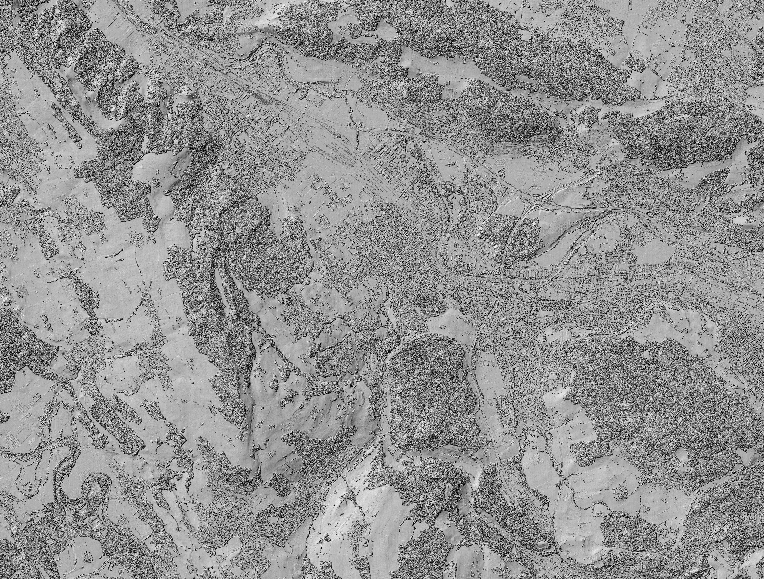
Hillshade for Vegetation Height Model NFI
Funding Information:
Citation:
DataCite ISO 19139 GCMD DIF README.txt BibTex RISGinzler, Christian (2018). Hillshade for Vegetation Height Model NFI. National Forest Inventory (NFI). doi:10.16904/1000001.2.
Data and Resources
Metadata
| Field | Values |
|---|---|
| DOI | 10.16904/1000001.2 |
| Publication State | Published |
| Authors |
|
| Contact Person | Given Name: Christian Family Name: Ginzler Email: christian.ginzler(at)wsl.ch Affiliation: Swiss Federal Institute for Forest, Snow and Landscape Research WSL ORCID: E-9544-2012 |
| Subtitles |
|
| Publication | Publisher: National Forest Inventory (NFI) Year: 2018 |
| Dates |
|
| Version | 2016 (current) |
| Type | Dataset |
| General Type | Dataset |
| Language | English |
| Location | Switzerland |
| Content License | Other (Specified in the description) |
| Last Updated | November 3, 2019, 20:29 (UTC) |
| Created | April 3, 2018, 10:53 (UTC) |
Custom Metadata
| Custom Field | Values |
|---|---|
| dora_link |